

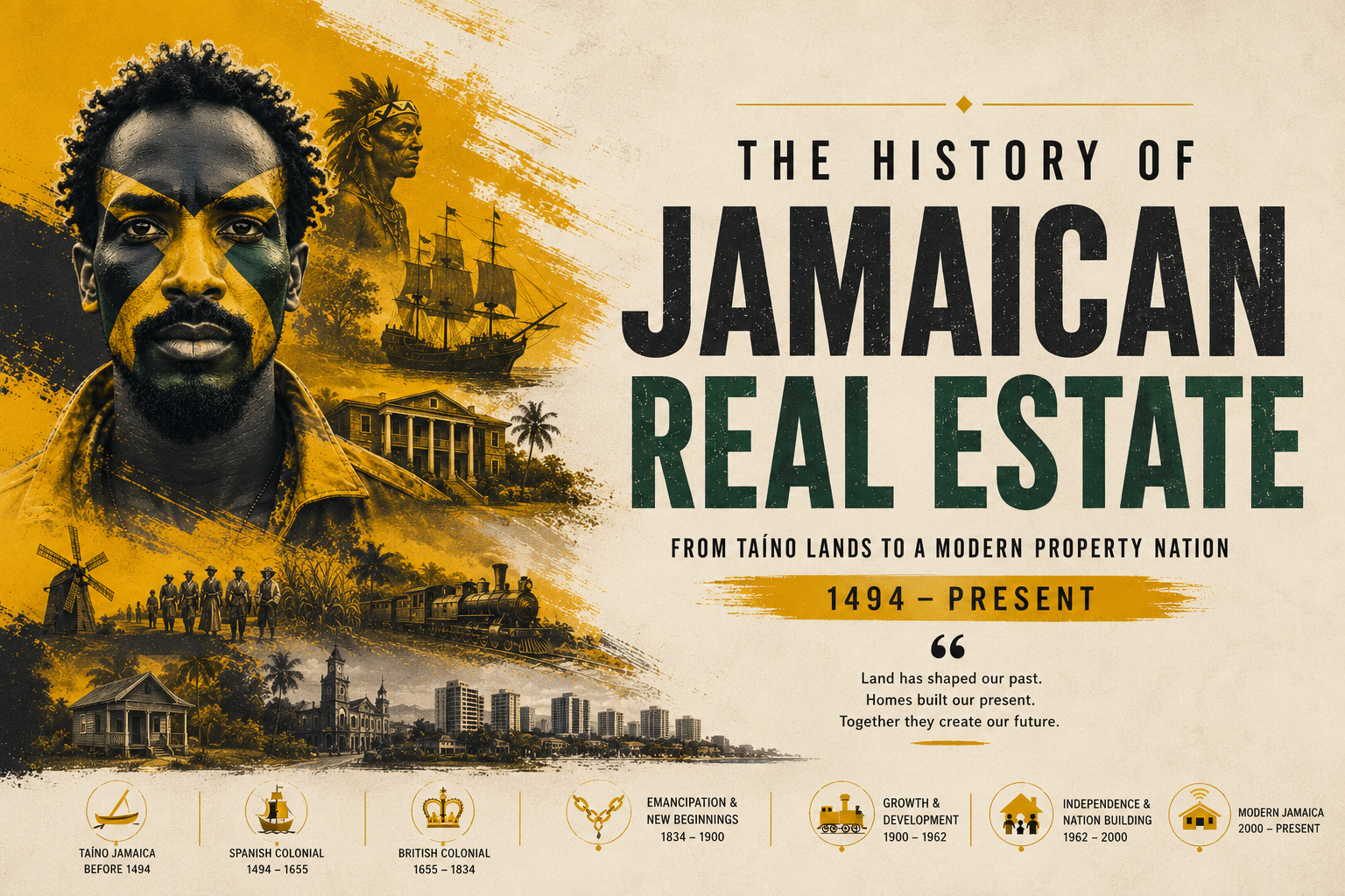
- Jamaica’s 14 parishes were formally established between 1664 and 1773.
- Vestry boards collected taxes and governed local land disputes.
- Quit rents were Jamaica’s earliest form of colonial property tax.
- Parish boundaries directly shaped colonial land values and markets.
- Surveyors became indispensable as plantation boundaries multiplied rapidly.
- Early title records laid the foundation for modern land registration.
Before the deed, before the survey peg, before the title search — there was the parish. In the long, contested history of Jamaican land ownership, few institutions proved as consequential as the fourteen administrative divisions that English colonists carved into the island beginning in 1664. They were not simply lines on a map. They were the architecture of power, the scaffolding of taxation, and the first grammar of property in a society built, quite literally, on the seizure of land. To understand Jamaican real estate today — its parish-based land registries, its vestry-era survey traditions, its deeply rooted culture of land as inheritance — one must first understand how those parishes were drawn, governed, and contested across nearly two centuries of colonial rule.
From Conquest to Colony: The English Inheritance of a Spanish Island
When English forces under Admiral William Penn and General Robert Venables wrested Jamaica from the Spanish in 1655, they inherited an island whose interior remained largely unmapped and whose existing land tenure system — thin and plantation-bound under Spanish rule — had largely dissolved with the departing colonists. What followed was a decade of military occupation and administrative improvisation before the Crown formally committed to colonisation in earnest.
The turning point came in 1661, when Charles II issued a proclamation inviting settlers to Jamaica with grants of thirty acres per person. By 1664, Governor Sir Thomas Modyford — himself a Barbadian planter who understood the economic logic of plantation agriculture — began imposing formal administrative order on the island. That year, Jamaica was divided into its first set of parishes, modelled loosely on the English ecclesiastical parish system but adapted to the realities of a slave colony in the tropics.
The original parishes numbered fifteen, later reorganised and refined over the following century as population shifted, sugar fortunes rose, and the economic geography of the island became clearer. By 1773, when the parish of Metcalfe was established and the last significant boundary revisions were made, Jamaica had settled into the fourteen parishes that largely survive to this day: Kingston, St. Andrew, St. Thomas, Portland, St. Mary, St. Ann, Trelawny, St. James, Hanover, Westmoreland, St. Elizabeth, Manchester, Clarendon, and St. Catherine.
The Vestry System: Local Government as Land Authority
Understanding colonial Jamaican land governance requires understanding the vestry — an institution that served simultaneously as local government, tax authority, public works administrator, and de facto property court. Modelled on the English parish vestry, the Jamaican version was constituted under the 1664 instructions to Modyford and given wide-ranging powers over local affairs.
Each parish vestry was composed of elected freeholders — property-owning men, almost exclusively white planters and merchants in the early period — alongside the custos rotulorum, a Crown-appointed justice of the peace who served as the parish’s senior magistrate. The vestry met regularly to assess and collect local taxes, manage roads and bridges, appoint surveyors of highways, and adjudicate minor land disputes that did not reach the island’s Supreme Court.
Critically, the vestry was the primary instrument through which colonial land policy became local reality. It was vestry officials who recorded property boundaries in parish records, who authorised the clearing of land for cultivation, and who settled the innumerable boundary disputes that erupted between neighbouring planters as sugar acreage expanded into previously uncultivated territory. The Jamaica Archives and Records Department (JARD), which today holds vestry minutes dating to the late seventeenth century, preserves a remarkable record of these deliberations — arguments over fence lines, contested water rights, and the perpetual struggle to establish who owned what in a landscape that was being remade season by season.
“The vestry is in many respects the most important institution of local government that Jamaica has ever known,” wrote the historian Edward Braithwaite in the twentieth century, echoing the assessment of earlier observers who noted that for most colonists, the vestry — not the Governor’s Council in Spanish Town — was the face of government they encountered most directly and most consequentially.
Quit Rents: The Original Jamaican Property Tax
Among the most significant — and most resented — features of colonial land tenure was the system of quit rents. These annual fees, payable to the Crown, were the price attached to land grants under the English system of freehold tenure. In theory, quit rents represented a feudal acknowledgment that all land ultimately derived from the Crown; in practice, they were Jamaica’s first property tax, levied on the basis of acreage and assessed parish by parish.
The rates established in the early colonial period were modest by design — typically twopence halfpenny per acre annually, or in some grants a symbolic peppercorn — intended to encourage settlement rather than generate significant revenue. But as plantations expanded into thousands of acres, the aggregate liability could become substantial. More importantly, the quit rent system created the first formal mechanism for linking land area to fiscal obligation, establishing a precedent that would echo through Jamaica’s property tax history into the present.
Collection was perennially problematic. The Jamaica Assembly, dominated by planters who were themselves the principal payers, consistently sought to limit quit rent liability and delay collection. A 1683 Act of the Assembly attempted to compound outstanding quit rents into a single payment, acknowledging that arrears had accumulated to an unmanageable degree. The British National Archives in Kew hold voluminous correspondence between Jamaica’s governors and the Lords of Trade and Plantations documenting the Crown’s frustrated attempts to enforce quit rent payments against a colonial legislature that controlled the island’s fiscal apparatus.
By the mid-eighteenth century — the period in which this account is written — quit rents had become more symbolic than substantive as a revenue source, but their legal significance remained. A grant encumbered by unpaid quit rents could, in theory, be escheated — returned to the Crown — a threat that planters took seriously enough to include quit rent clearances in property transactions. The instrument of the quit rent clearance certificate, issued by the Receiver-General’s office in Spanish Town, was thus an early ancestor of the modern title search.
How Parish Boundaries Shaped the Land Market
The fourteen parishes were never merely administrative conveniences. They were, from their inception, economic territories with distinct identities, resources, and land values that shaped the emerging property market in ways that persisted long after colonial rule ended.
St. Catherine, home to the colonial capital of Spanish Town and the island’s oldest settled districts, commanded premium values for its agricultural land and its proximity to administrative services. St. James, anchored by Montego Bay and its flourishing mercantile economy, attracted significant investment in sugar plantations and town lots through the mid-eighteenth century. Portland and St. Thomas, in the more rugged and rainfall-heavy eastern parishes, developed a different character — smaller settlements, more diversified cultivation, and land prices that reflected the challenges of interior access.
The establishment of new parishes often reflected — and accelerated — shifts in land values. When Trelawny was carved out of St. James in 1770, it acknowledged the extraordinary sugar wealth that had accumulated in the Martha Brae and Queen of Spain’s Valley districts. The new parish brought its own vestry, its own courthouse at Falmouth, its own administrative apparatus — and with them, the institutional infrastructure that made property transactions more secure and thus more valuable. The National Library of Jamaica (NLJ) holds estate maps from this period showing how quickly Trelawny’s land was subdivided into plantation parcels in the decade following its establishment.
Parish boundaries also determined access to credit. Mortgages on Jamaican plantations — a critical instrument in a capital-intensive sugar economy — were recorded in the island’s central registry but organised by parish. A planter seeking credit against St. Ann properties would have those encumbrances searched against St. Ann records. The parish was thus not only a territorial but an informational unit, and the quality of parish record-keeping directly affected a property owner’s ability to establish clear title and access finance.
The Emergence of the Land Surveying Profession
The expansion of plantation agriculture created an urgent and sustained demand for land surveying that produced, over the course of the eighteenth century, a distinctive professional class. Surveyors in colonial Jamaica occupied an unusual position: technically artisans rather than gentlemen, they nonetheless possessed skills — trigonometry, instrument use, drafting — that were rare enough to command substantial fees and grant their practitioners significant social influence.
The earliest surveys of Jamaican land grants were crude by later standards, often consisting of little more than a compass bearing and a chain measurement establishing the approximate bounds of a parcel. As the century progressed and disputes multiplied, the standards became more exacting. The island’s legislature passed successive acts requiring that land grants be accompanied by certified surveys — documents that identified not merely the acreage granted but the adjoining proprietors, the natural features forming boundaries, and the distance to nearest town or landing.
Prominent among the island’s eighteenth-century surveyors were men like John Pitcairn, whose surveys of the St. Elizabeth interior in the 1730s and 1740s helped open that parish’s mountain districts to cultivation, and the Craskell and Simpson partnership whose island-wide survey of the 1760s — portions of which survive in the British National Archives — produced the first comprehensive mapped record of Jamaican land occupation. Their work was not merely cartographic; it was constitutional, in the sense that a surveyed and recorded parcel had a legal existence that an unsurveyed one did not.
The Jamaica Survey Department, forerunner to the modern National Land Agency, traces its institutional origins to the surveyor-general’s office established in the early eighteenth century. The surveyor-general was responsible for overseeing all Crown land grants, certifying surveys, and maintaining the accumulating record of island land use. It was an office whose influence on Jamaican property law exceeded its modest bureaucratic profile, because every subsequent land transaction depended on the accuracy of the surveys it had certified.
Early Title Records and the Road to Formal Registration
The question of how to establish and protect land title in a colonial society — where documents could be lost, forged, or destroyed, and where the courts offered an imperfect remedy for fraud — occupied Jamaican legislators and jurists throughout the colonial period. The solutions they devised were imperfect, but they established institutional foundations that would endure.
The island’s first systematic title registration mechanism was the Deeds Registry, established in the late seventeenth century and maintained in Spanish Town. Under this system, conveyances of land — purchases, mortgages, gifts, inheritances — were required to be enrolled in the registry within a specified period to be enforceable against third parties. This was a system of deeds registration rather than title registration: it recorded the instruments of transfer, not a definitive statement of ownership, and left open the possibility of competing claims based on prior unrecorded transactions.
Nonetheless, the Deeds Registry represented a significant institutional achievement. The records it accumulated through the eighteenth and early nineteenth centuries — now held by the Registrar General’s Department (RGD) in Kingston, with microfilm copies held by the Jamaica Archives — constitute an irreplaceable record of colonial property transactions. Researchers at the University of the West Indies (UWI) Mona campus have drawn on these records to reconstruct the patterns of land accumulation, plantation formation, and property transfer that characterised the colonial economy.
The Jamaica National Heritage Trust (JNHT) and the Jamaica Information Service (JIS) have both noted the significance of these early records not only as legal documents but as social history — evidence of how land changed hands, how enslaved people were included in estate inventories as property alongside cattle and equipment, and how, gradually, a more complex property-holding class emerged in the late colonial period that included free people of colour whose land ownership was legally recognised even as their civil rights remained constrained.
Land, Power, and the Limits of the Colonial System
The parish system and its attendant institutions were, at their core, instruments of a particular social order — one premised on plantation agriculture, enslaved labour, and the concentration of land in the hands of a small planter class. Understanding the history of Jamaican land governance requires acknowledging that the sophistication of its administrative machinery coexisted with, and in many respects enabled, one of the most brutal labour regimes in the Atlantic world.
The land grants that quit rents were levied upon, the plantations whose boundaries surveyors mapped, the title deeds that the Deeds Registry recorded — these documents embodied a system of dispossession as much as a system of property. The enslaved majority had no standing in the property system except as property themselves. The Maroon communities of the interior, who had fought the colonial state to a negotiated standstill with the treaties of 1739 and 1740, occupied their mountain territories outside the formal parish system — a recognition that the administrative geography of colonial Jamaica had limits that force alone could define.
Yet the administrative infrastructure created in this period — the parishes, the vestries, the surveying profession, the title registry — proved more durable than the social order it served. After emancipation in 1834, and particularly after full freedom in 1838, it was this infrastructure that formerly enslaved people engaged with as they sought to establish independent land holdings, form free villages, and participate in the property economy on their own terms. The struggle to access land in the post-emancipation period was waged, in significant part, through the institutions and mechanisms that the colonial period had created.
Conclusion: The Long Shadow of the Parish
More than two and a half centuries after Governor Modyford first drew parish lines across Jamaica’s colonial map, those lines remain. The fourteen parishes that emerged by 1773 are the same fourteen parishes that organise Jamaican local government, postal addresses, electoral districts, and — critically — land registration today. The National Land Agency maintains parish-based land records. The Registrar General’s Department processes title applications organised by parish. Real estate agents quote prices by parish. The parish is not merely a historical curiosity; it is the living framework within which Jamaican property markets operate.
The vestry system’s direct descendants — the parish councils established under the 1901 Parish Councils Law and their modern successors — continue to exercise authority over local planning and development that shapes land values. The surveying profession that emerged in the eighteenth century has evolved into a credentialed discipline regulated by the Land Surveyors Act. The quit rent, long since abolished, has been replaced by property tax administered on principles that retain the original logic of linking land area and assessed value to fiscal obligation.
What the colonial period established, in short, was not merely a set of institutions but a way of thinking about land — as something to be measured, registered, taxed, and transferred through formal instruments, with the parish as the fundamental unit of organisation. That legacy is so deeply embedded in Jamaican legal and social culture that it has survived the end of slavery, the end of British rule, and repeated cycles of economic transformation. For anyone seeking to understand the Jamaican property market of the twenty-first century, the parish vestries of the eighteenth remain, quite literally, the point of departure.
Sources and further research: British National Archives (Colonial Office series CO 137); Jamaica Archives and Records Department, Spanish Town (Vestry Minutes, Deeds Registry); National Library of Jamaica (Estate Maps Collection); University of the West Indies, Mona (Caribbeana Collection); Jamaica National Heritage Trust; Jamaica Information Service Historical Archive. The Craskell and Simpson survey of 1763 is held in the Map Library of the British Library and the Jamaica Archives.
Follow Jamaica Homes on Youtube @jamaicahomes and Instagram @jamaica_homes and on Facebook @jamaicahomesnews Send us a message or email us at onlinefeedback@jamaica-homes.com or editor@jamaica-homes.com
Support independent Jamaican journalism.
- 1Our journalists cover housing, politics and community — stories that directly affect Jamaican lives.
- 2We have no billionaire owner and no advertisers calling the shots. Every story is decided by our editors.
- 3It costs less than a cup of coffee a week, and takes less time to subscribe than it took to read this article.
Support Jamaica Homes News today.
- Save 17% compared to monthly
- All articles unlocked
- Weekly newsletter
- Priority support
By subscribing you agree to our Privacy Policy and Terms.

Visit our YouTube Community ↗