

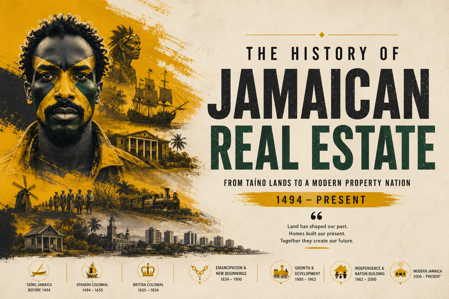
- High Crown land prices deliberately kept freed Blacks tied to plantations.
- Crown Land Act 1869 formalised colonial control over Jamaica’s public estates.
- Small-lot land sales only began in 1896 — nearly 60 years after freedom.
- Educated coloured middle class claimed the lion’s share of available parcels.
- Interior parishes — St Elizabeth, Trelawny, Manchester — became smallholder heartlands.
- Colonial land policy still shapes Jamaica’s racial property map today.
When the last shackles fell on 1 August 1838 and full freedom finally came to Jamaica’s 311,000 formerly enslaved people, the question that followed was urgent, elemental, and deliberately left unanswered by the Colonial Office in London: Where would they go, and could they own the earth beneath their feet?
The answer, crafted in Whitehall and enforced in Spanish Town, was a masterwork of bureaucratic obstruction. For the better part of six decades after Emancipation, Crown land — the vast interior territories technically owned by the Crown and not attached to any sugar estate — was priced, parcelled, and distributed in ways that ensured the formerly enslaved would remain, as far as colonial administrators could manage it, a reliable and dependent labour force. The story of who got that land, and who did not, is the story of how Jamaica’s modern property landscape was born.
The Price of Freedom: Colonial Land Policy and the Labour Question
The planters of Jamaica had seen what happened in the aftermath of slavery elsewhere. Closer to home, in the years immediately following the Apprenticeship period, they had watched formerly enslaved Jamaicans abandon the estates in their thousands, flowing into the mountains and building free villages. Sligoville, founded in 1835 by the Methodist missionary James Phillippo under the patronage of the Marquis of Sligo, stood as the most celebrated example. By 1840, an estimated 19,000 people had resettled in such free villages, many purchasing small plots of land from sympathetic missionaries or impoverished white landowners.
The Colonial Office watched this demographic movement with alarm. Governor Sir Charles Metcalfe wrote to Lord John Russell in 1840 warning that if the trend continued, the sugar industry would collapse entirely. The solution proposed, borrowed from Edward Gibbon Wakefield’s influential theories of systematic colonisation, was elegant in its cruelty: keep the price of Crown land high enough that no labourer’s wage could readily purchase it.
The minimum upset price for Crown land in Jamaica was set at 1 pound per acre, equivalent to roughly two weeks’ wages for a field labourer at the prevailing post-Emancipation rate. On paper, the land was available for purchase by any free person. In practice, the accumulation of capital required to purchase even a modest smallholding of five to ten acres placed ownership beyond the reach of any individual who had just emerged from bondage without savings, inheritance, or credit.
As the historian Gad Heuman observed in his landmark study Between Black and White (1981), this was not an accident of policy but its very design. The Colonial Office papers held today at the British National Archives in Kew, series CO 137, covering Jamaica correspondence, are peppered with dispatches in which governors and planters make explicit their fear that a free peasantry with access to land would spell the death of the plantation economy.
The Crown Land Act of 1869: Codifying Control
By the 1860s, the improvised high-price policy was showing its limitations. The Morant Bay Rebellion of October 1865, in which Paul Bogle and the peasants of St Thomas-in-the-East rose in desperate protest against poverty, landlessness, and a judicial system that offered them no redress, had shaken the colonial establishment to its foundations. Governor Edward John Eyre’s brutal suppression of the uprising, and the subsequent execution of the mixed-race politician George William Gordon, provoked a parliamentary crisis in London. The result was the dissolution of Jamaica’s ancient House of Assembly and the imposition of direct Crown Colony government in 1866.
Paradoxically, Crown Colony government created the administrative conditions for a more formal land policy. The Crown Land Act of 1869 established for the first time a systematic framework for the surveying, classification, and disposal of public lands in Jamaica. Under the Act, the island’s remaining Crown territories were formally surveyed and gazetted. A schedule of regulations governed how they could be sold, leased, or reserved.
The Act did not lower the price of land or simplify the processes of acquisition. Applications required engagement with the colonial bureaucracy, the ability to read and complete forms, access to surveyors, and the payment of administrative fees, all of which effectively filtered out the rural Black majority. The beneficiaries of the new formal system were overwhelmingly members of the coloured middle class: free-born, educated, often mixed-race professionals, merchants, and clergymen who occupied the social stratum between the white plantocracy and the Black labouring majority.
These were men like Robert Love, the Bahamian-born doctor and journalist who would later edit The Jamaica Advocate, or the families of Baptist deacons who had built the free villages and who possessed sufficient literacy and social capital to navigate Crown land bureaucracy. The land records held at the Jamaica Archives and Records Department (JARD) at Spanish Town, a treasure trove of Crown grants, survey plats, and conveyancing documents from this period, reflect precisely this social reality.
The Interior Parishes: A Peasant Geography Takes Shape
Despite the barriers, a quiet land revolution was occurring in the interior parishes of the island. Where the coastal plains were locked in cane, the mountains and plateaux of St Elizabeth, Manchester, Trelawny, and St Ann offered something different: land that the sugar economy had never fully colonised, Crown territories distant from the main estates, and soils suited to provisions, coffee, and pimento rather than cane.
In St Elizabeth, the broad limestone plains of the south and the forested hills of the north attracted settlers who had walked away from the coastal estates of Westmoreland and St James. By the 1870s, a recognisable peasant smallholder economy was emerging in communities like Santa Cruz, Accompong (home of the Maroon community who had held treaty rights to their land since 1739), and the river valleys around Black River. Manchester, perched on the central plateau at elevations above 1,500 feet, saw similar development. Its cooler climate and fertile red-clay soils made it suitable for the cultivation of coffee and provisions that found ready markets in Kingston.
Trelawny, the great sugar parish of the eighteenth century, was undergoing a slow transformation as estates failed and were sold for debt. Some of this land entered the market and was purchased, in small parcels, by Black Jamaicans of means. The Jamaica National Heritage Trust (JNHT) has documented the survival of several free villages in Trelawny from this period, each representing a node of Black land ownership that persisted and grew through the latter half of the nineteenth century.
Yet even in these parishes, access to Crown land remained stratified. A study of Crown grants in St Elizabeth between 1869 and 1896, using records accessible at JARD, reveals that the majority of formal Crown grants went to applicants identified by occupation as tradesmen, teachers, or ministers, the literate professional stratum, rather than to agricultural labourers.
1896 and the Small-Lot Settlement Schemes: Reform Arrives Too Late
It was not until 1896, fifty-eight years after Emancipation and thirty years after the Morant Bay Rebellion, that the colonial government moved in any systematic way to make Crown land accessible to the Black labouring majority. In that year, under the administration of Governor Henry Arthur Blake, the Crown Colony government launched a formal land settlement programme under which Crown parcels were subdivided into small lots of between two and ten acres and offered for sale at reduced prices to agricultural labourers and smallholders.
The scheme was modest in scope and heavily bureaucratic in execution. Settlers were required to clear and cultivate their plots within a specified time, pay for surveys, and meet instalment obligations. Those who defaulted lost their allotments. The Jamaica Information Service (JIS) historical archive notes that between 1896 and 1900, the colonial government settled approximately 3,000 families on Crown land parcels under these arrangements, a meaningful number, but a fraction of the rural landless population, which numbered in the tens of thousands.
The programme also came with paternalistic conditions that reflected the colonial government’s ambivalence about Black landownership. Settlers were directed toward specific crops, bananas, cacao, coffee, that served the island’s export economy rather than subsistence. The banana boom of the 1880s and 1890s, driven by the United Fruit Company’s penetration of the Jamaican market, provided an economic context in which small-lot cultivation could be commercially viable, and this helped the 1896 scheme achieve more traction than earlier efforts. But the fundamental premise remained: Black Jamaicans were to have access to land insofar as that access served the imperial economy.
Race, Class, and the Geography of Property
The cumulative effect of sixty years of restrictive Crown land policy was a property map that encoded racial and class hierarchies with extraordinary precision. By 1900, the pattern was clear: large sugar estates, now in decline but still legally intact, dominated the coastal plains. The coloured middle class had accumulated significant holdings in the interior through formal Crown grants and market purchases. The Black majority, where it had gained land at all, held it in small parcels, often without formal title, in the inland districts.
This distribution was not merely economic. It was spatial, psychological, and deeply durable. The work of scholars at the University of the West Indies (UWI), particularly economic historians who have analysed land tenure data from the 1891 and 1921 censuses, demonstrates that the property patterns established by Crown land policy in the nineteenth century showed remarkable persistence well into the twentieth century and beyond.
The absence of formal title created a vulnerability that compounded over generations. Land held without a registered Crown grant or conveyance could not be mortgaged, could not serve as collateral, and was vulnerable to adverse possession and legal challenge. The National Land Agency (NLA) and its predecessor bodies have spent decades attempting to formalise title for the descendants of those who settled Crown land informally in this period, a project that remains unfinished.
Echoes in the Present: Crown Land Policy’s Long Shadow
Stand in the hills above Santa Cruz in St Elizabeth today, or drive through the provision-farming communities of Trelawny’s interior, and you are moving through a landscape whose outlines were drawn by Crown land policy between 1838 and 1900. The smallholdings, the informal pathways of inheritance, the absence of subdivision survey maps for parcels that have passed through three or four generations: all of these are, in significant measure, the legacy of colonial decisions made in Spanish Town and Whitehall in the middle decades of the nineteenth century.
Researchers at the Sir Arthur Lewis Institute of Social and Economic Studies (SALISES) at UWI have documented how the lack of formal title inherited from the post-Emancipation period continues to constrain access to credit and capital formation in rural Jamaica. The Jamaican government’s land regularisation programmes, most recently the Land Administration and Management Programme (LAMP), represent, in a very real sense, the unfinished business of 1838.
The question that could not be answered fairly, justly, or honestly by the colonial administrators who set Crown land prices deliberately high in 1840 is still being answered now, parcel by parcel, survey by survey, title by title. The land, as it always has in Jamaica, carries history in its deeds.
Primary sources for this period include CO 137 series at the British National Archives, Kew; Crown grant registers at the Jamaica Archives and Records Department (JARD), Spanish Town; and the Annual Reports of the Governor of Jamaica to the Secretary of State for the Colonies, 1866-1900. Secondary scholarship consulted includes Gad Heuman, Between Black and White (1981); Swithin Wilmot, Emancipation in Practice (UWI Press); and Veront Satchell, From Plots to Plantations: Land Transactions in Jamaica, 1866-1900 (ISER, UWI, 1990).
Follow Jamaica Homes on Youtube @jamaicahomes and Instagram @jamaica_homes and on Facebook @jamaicahomesnews Send us a message or email us at onlinefeedback@jamaica-homes.com or editor@jamaica-homes.com
Support independent Jamaican journalism.
- 1Our journalists cover housing, politics and community — stories that directly affect Jamaican lives.
- 2We have no billionaire owner and no advertisers calling the shots. Every story is decided by our editors.
- 3It costs less than a cup of coffee a week, and takes less time to subscribe than it took to read this article.
Support Jamaica Homes News today.
- Save 17% compared to monthly
- All articles unlocked
- Weekly newsletter
- Priority support
By subscribing you agree to our Privacy Policy and Terms.

Visit our YouTube Community ↗