

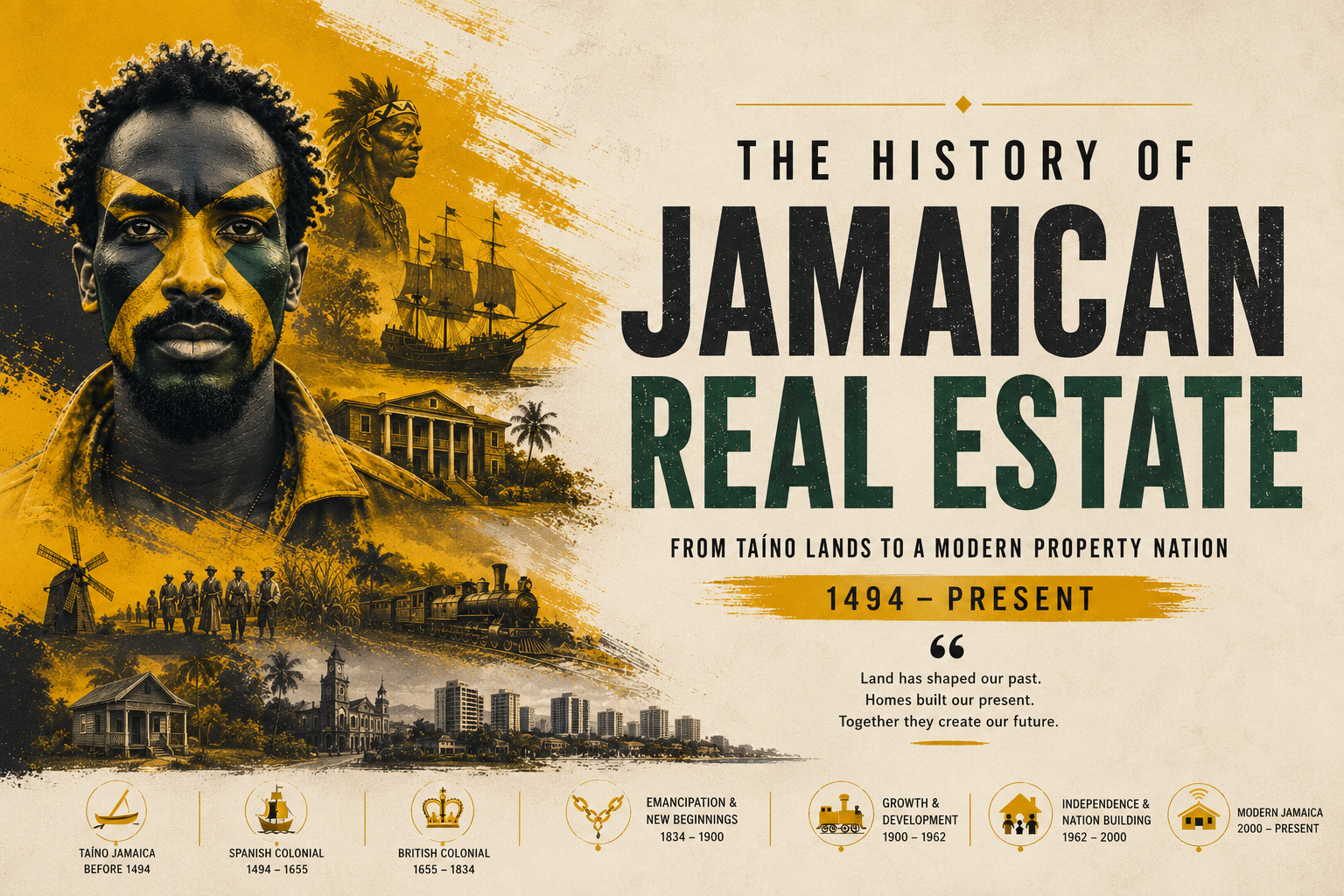
- A 1692 earthquake destroyed Port Royal, forcing survivors to relocate.
- Colonel Barry’s grid plan gave Port Royal survivors formal new town lots.
- The Parade became Kingston’s defining central public square from the start.
- Harbour-front merchants powered Kingston’s first urban property boom.
- Uptown-downtown property distinctions emerged within Kingston’s first decades.
- Kingston replaced Spanish Town as Jamaica’s official capital only in 1872.
When the Earth Shook, a City Was Born
At seventeen minutes before noon on June 7, 1692, the ground beneath Port Royal convulsed. Within two minutes, two-thirds of the city — the richest port in the English-speaking Caribbean, a labyrinthine tangle of taverns, counting houses, and merchants’ offices built on sand — had slid into Kingston Harbour. An estimated two thousand people died instantly. Thousands more succumbed to disease and injury in the weeks that followed. The earthquake did not merely destroy a city. It created one.
Kingston, the metropolis that would eventually become the largest English-speaking city in the Caribbean outside of North America, was not founded by ambition or colonial design. It was born from catastrophe — a planned refugee settlement on the Liguanea Plain across the harbour from the ruins of Port Royal. That origin story, rooted in displacement and pragmatic urban design, would shape the character of Jamaican real estate for the next three centuries.
The Barry Grid: Order From Ruin
Within months of the earthquake, survivors who had escaped to the northern shore of Kingston Harbour began the work of establishing a permanent settlement. The colonial government, then under the administration of Lieutenant Governor Sir William Beeston, recognised that reconstruction on the unstable sands of Port Royal — now partially submerged — was neither safe nor practical. The solution was a new town, rationally planned, on the broad flat expanse of the Liguanea Plain.
The task of surveying and laying out this new settlement fell to Colonel Barry, a military officer whose 1692 grid plan would give Kingston its enduring physical character. Barry’s design was, by the standards of the era, remarkably systematic. The town was laid out in a strict rectangular grid, with broad streets running north to south and east to west — an arrangement more reminiscent of Philadelphia or Savannah than of the cramped, organically grown ports that characterised most Caribbean settlements of the period.
The grid’s central feature was a large open square — what would become known simply as The Parade — positioned near the geographic heart of the new town. Around this central space, Barry’s plan allocated town lots to the survivors of Port Royal, establishing in legal and spatial terms the first formal property market in what would become Jamaica’s capital city.
Records held at the Jamaica Archives and Records Department (JARD) in Spanish Town, as well as documents preserved in the National Library of Jamaica (NLJ) and the British National Archives at Kew, trace the allocation of these original lots. Prominent Port Royal merchants received parcels near the waterfront; tradespeople and smaller property holders were assigned lots further inland. From the very beginning, Kingston’s real estate hierarchy was inscribed in the geography of the city itself.
The Parade: Urban Space as Property Value
No feature of early Kingston shaped property values — and civic life — more profoundly than The Parade. Designated as the town’s central public space from Barry’s original plan, The Parade served simultaneously as a military parade ground, a market site, a social meeting point, and the symbolic heart of the new settlement. In this, it followed a planning tradition common to English colonial towns of the period, one familiar to colonial administrators who had overseen town foundations across North America and the wider Caribbean.
Properties facing The Parade commanded premium values almost from the moment the first lots were allocated. Merchants understood that proximity to the town’s commercial and social centre was essential for trade; the tavern keepers, dry goods dealers, and brokers who clustered around The Parade were replicating, on new ground, the commercial geography that had defined Port Royal before the earthquake.
By the first decades of the eighteenth century, The Parade had evolved into a vibrant commercial district. Markets were held there regularly; public announcements were read from its perimeter; military musters and civic processions marked the colonial calendar. The space served, in the terminology of modern urban studies, as what planners today would call a “third place” — neither home nor workplace, but the connective tissue of civic life.
Scholars at the University of the West Indies (UWI) Mona have examined the role of The Parade in structuring early Kingston’s social geography, noting that its position in the grid effectively divided the town into quadrants with distinct social and commercial characters. This spatial logic persisted well beyond the colonial period; the distinction between North Parade and South Parade, and their associated commercial and social profiles, remains legible in Kingston’s street life today.
A Merchant City Takes Shape Around the Harbour
Kingston’s position on the southern coast of Jamaica, with one of the finest natural harbours in the Caribbean, made its commercial destiny almost inevitable. As Port Royal was gradually rebuilt as a naval base and fortification rather than a commercial centre, Kingston absorbed the trade that had once flowed through its destroyed predecessor. By the early 1700s, Kingston had established itself as the island’s dominant commercial port.
The harbour waterfront was the engine of this economy. Wharves, warehouses, counting houses, and merchants’ offices multiplied along the shore in the years following the town’s founding. Waterfront properties were among the most valuable in the early colony — not merely because of their commercial utility but because they conferred the social status that proximity to trade implied. A merchant with a harbour-front warehouse was, in the social calculus of early Kingston, a man of consequence.
The sugar trade drove much of this commercial activity. Jamaica was, by the early eighteenth century, the most productive sugar colony in the British empire, and Kingston served as the funnel through which the island’s wealth was exported and European goods were imported. The warehouses along the waterfront filled and emptied with the rhythms of the sugar harvest, and the value of commercial properties in Kingston rose in step with the expansion of plantation agriculture across the island’s interior.
Documentation preserved in the British National Archives — including customs records, merchant correspondence, and colonial administrative papers — provides a detailed picture of this early property market. The Jamaica National Heritage Trust (JNHT), which has worked to identify and preserve the physical remnants of early Kingston, has noted that several structures associated with this period survive in the downtown core, testament to the durability of the original grid’s commercial logic.
Uptown and Waterfront: The First Property Divide
Even within Kingston’s first half-century, the spatial differentiation that would come to define Jamaican real estate was beginning to emerge. The waterfront and the streets immediately surrounding The Parade were commercial territory — noisy, crowded, and commercially intense. But as the town expanded northward toward the hills of the Liguanea Plain, a different kind of property began to take shape.
The wealthier merchant families of early Kingston began constructing substantial residences at a remove from the commercial waterfront — not far enough to be inconvenient, but sufficiently distant to escape the noise, heat, and social heterogeneity of the harbour district. This migration toward higher ground, which would accelerate dramatically in the nineteenth and twentieth centuries, had its roots in these earliest decades of Kingston’s existence.
The distinction was partly practical. Properties at higher elevations were perceived, correctly, as healthier — better ventilated, further from the stagnant waterfront areas where diseases bred. But the distinction was also social. Distance from the waterfront was, by the mid-eighteenth century, beginning to correlate with social status, establishing a geographical grammar of class and respectability that would become one of the defining features of Jamaican urban life.
The Jamaica Information Service (JIS) historical records and scholarly analyses by UWI historians have traced this early bifurcation, noting that the uptown-downtown divide visible in modern Kingston has deep roots in the town’s founding decades. Understanding this early spatial logic is essential for anyone seeking to comprehend why certain Kingston neighbourhoods retain their character and market value across centuries of social change.
The Long Wait for Capital Status: 1692 to 1872
Despite its rapid growth as the island’s commercial capital, Kingston’s formal political status lagged far behind its economic importance. Spanish Town, the settlement founded by the Spanish in the early sixteenth century and maintained by the English after the conquest of 1655, retained its position as Jamaica’s administrative capital — seat of the colonial legislature, the governor’s residence, and the island’s courts — for nearly two centuries after Kingston was founded.
The rivalry between Kingston and Spanish Town was one of the defining political conflicts of colonial Jamaica. Kingston’s merchant class repeatedly pressed for the transfer of the capital, arguing that the island’s administrative functions should be located in its commercial heart. Spanish Town’s defenders — including planters and administrators whose power was rooted in the older colonial establishment — resisted, and the debate festered across generations.
It was not until 1872, a full one hundred and eighty years after Kingston’s founding, that the colonial legislature finally voted to transfer the capital. The move formalised what had been economically obvious for more than a century: Kingston was Jamaica’s real centre of gravity. The formal capital transfer also had significant implications for property values, as the shift of government offices, courts, and administrative infrastructure to Kingston generated new demand for commercial and residential space in the city.
The archives of the Jamaica Assembly, now held in part at JARD and referenced in the research collections of the NLJ, document the long political struggle over the capital question in considerable detail. The records reveal that the property interests at stake were openly acknowledged by participants on both sides — the transfer of the capital was understood, from the beginning, as a decision with profound real estate implications.
The Foundation of a Real Estate Legacy
Three hundred and thirty years after Colonel Barry drew his grid across the Liguanea Plain, the bones of his original design remain visible in downtown Kingston. King Street, Orange Street, Harbour Street — the broad avenues of the 1692 plan — still define the spatial logic of the city’s oldest district. The Parade, now encompassing both North and South Parade, retains its character as a public gathering space, though much transformed from its colonial origins.
The patterns established in Kingston’s founding decades have proven remarkably durable. The premium attached to waterfront commercial property, the southward orientation of the city’s commercial life, the hierarchical geography of residential neighbourhoods — all of these features of modern Kingston real estate have their origins in the decisions made in the months and years after June 7, 1692.
For researchers and practitioners working in Jamaican property today — whether through the formal records of JARD, the archival collections of the NLJ, or the heritage designations of the JNHT — understanding this founding moment is not merely an exercise in historical curiosity. The disaster that destroyed Port Royal created, in Kingston, a planned city whose spatial logic has proven extraordinarily persistent. Jamaica’s real estate market, in its deepest structures, still bears the imprint of Colonel Barry’s grid.
Catastrophe, in 1692, became the mother of invention. From the ruins of one city, Jamaicans built another — and in doing so, they laid the foundations of an urban real estate tradition that endures to this day.
Follow Jamaica Homes on Youtube @jamaicahomes and Instagram @jamaica_homes and on Facebook @jamaicahomesnews Send us a message or email us at onlinefeedback@jamaica-homes.com or editor@jamaica-homes.com
Support independent Jamaican journalism.
- 1Our journalists cover housing, politics and community — stories that directly affect Jamaican lives.
- 2We have no billionaire owner and no advertisers calling the shots. Every story is decided by our editors.
- 3It costs less than a cup of coffee a week, and takes less time to subscribe than it took to read this article.
Support Jamaica Homes News today.
- Save 17% compared to monthly
- All articles unlocked
- Weekly newsletter
- Priority support
By subscribing you agree to our Privacy Policy and Terms.

Visit our YouTube Community ↗